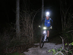
Every fall, the
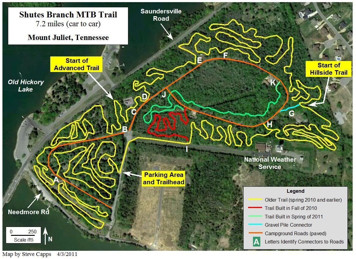
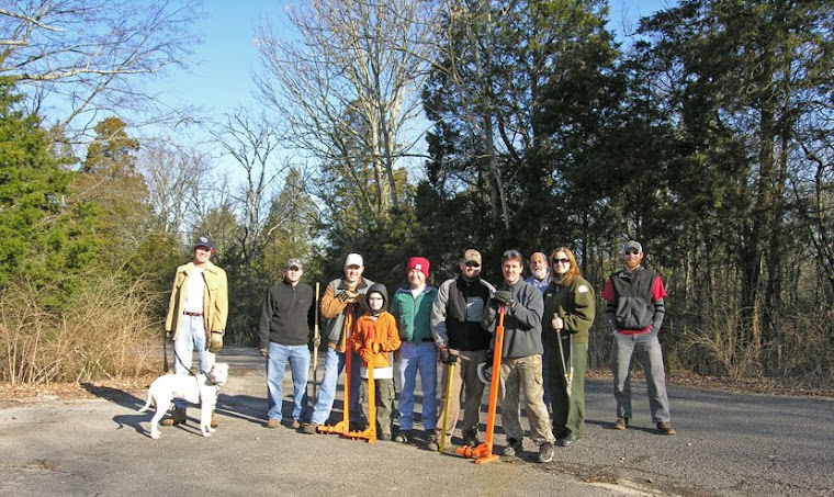
Corps of Engineers and the Friends of Shutes Branch hold a trail workday for Public Lands Day. This year we'll be finishing about 500 ft of trail that was rough cut this spring. If we get enough volunteers, we'll continue cutting new trail and hopefully will be exiting the woods at the bottom of the hill. Right now, it's 7.2 miles car to car, with about 1/2 mile on the campground road. Other work will include maintenance and tweaking the existing trails.
Schedule: Saturday September 24th --->>> Start at 8:30 am – End ??? Sometime in the afternoon???
Meeting Place: The parking lot at the trail-head (we’ll walk over to the end of the trail)
What to Bring/Wear: Long pants, work boots, gloves, and safety glasses. Don’t forget to bring a change of clothes for afterwards. Also, bring your favorite trail tool (make sure to put your name on it). We'll have some tools, including the world famous Weed Wrenches to pull privet and honeysuckle roots up. Also bring water and snacks to keep your energy level up.
Cookout: We’ll be cooking burgers and hot-dogs on the grill near the weather service radar tower. Food and drinks provided by the COE.
Play Time: After lunch, we’ll hit the trail and enjoy the fruits of our labor.